The Met Office’s amber warning for snow and ice is now in force, as Britain braces itself for a huge Arctic blast.
Large parts of the UK will be hit by heavy snow and freezing rain which could lead to disruption this weekend amid two amber weather warnings.
People in an area of Bristol are currently experiencing a power cut, the National Grid has said.
While Bristol airport has seen at least 18 flights delayed in their arrival or departure, and two cancelled.
There is also a ‘good chance’ that rural communities could be cut off thanks to the weather, with up to 30cm of snowfall expected in some areas.
Cumbria Police said on Saturday afternoon that it had received numerous calls about a multiple-vehicle collision on Wrynose Pass in the Lake District.
The Met Office has issued new warning maps showing which areas will be hit the hardest by heavy snow and temperatures of -10C, as major cities ‘activate’ emergency plans.
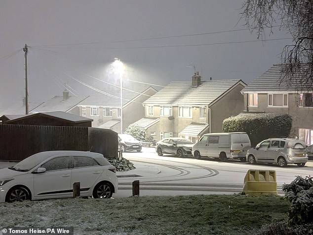
Snow falling in Newport. Large parts of the country will face disruption from heavy snow and freezing rain over the weekend after forecasters issued two amber weather warnings
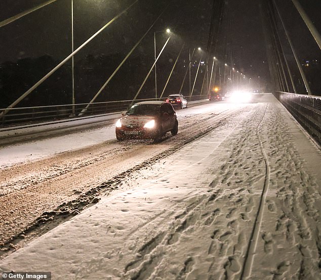
An image of a snow covered road at the Chartist Bridge
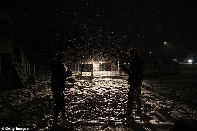
Children play in the snow as their father keeps watch from his car
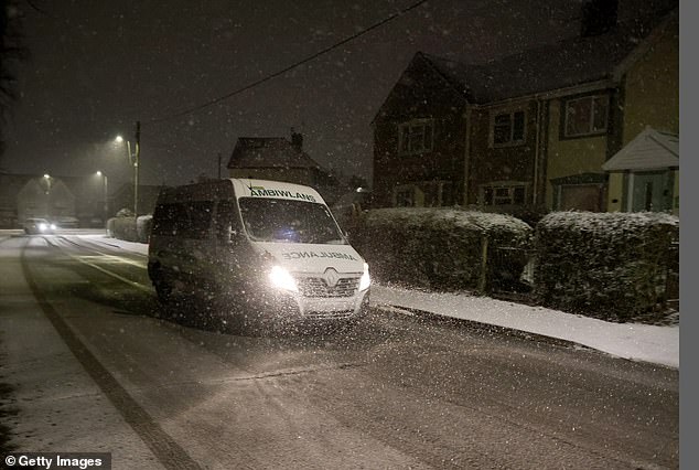
An ambulance drives through the freshly laid snow on January 04, 2025 in Blackwood, Wales
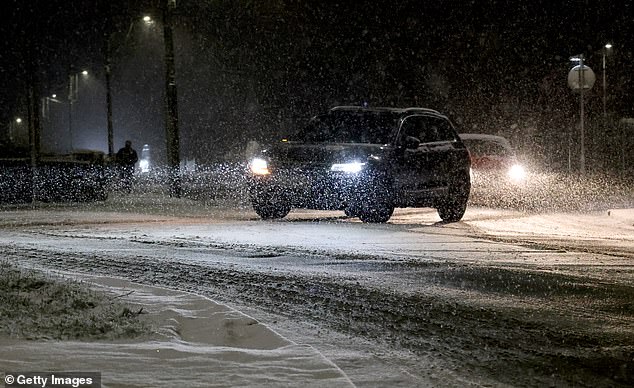
Vehicles negotiating the snow in dangerous conditions
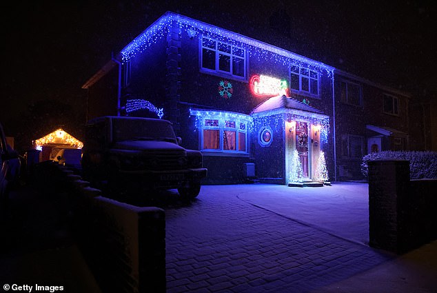
A house is illuminated with Christmas lights as snow falls. Temperatures reach -10 C this weekend in some parts of the UK with Amber weather warnings issued by the Met office
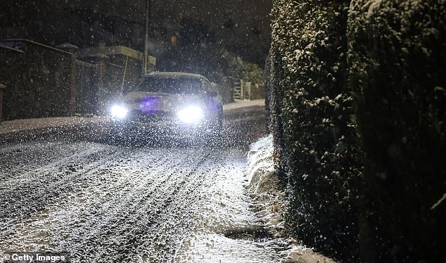
A car navigates his way down a hill through snow
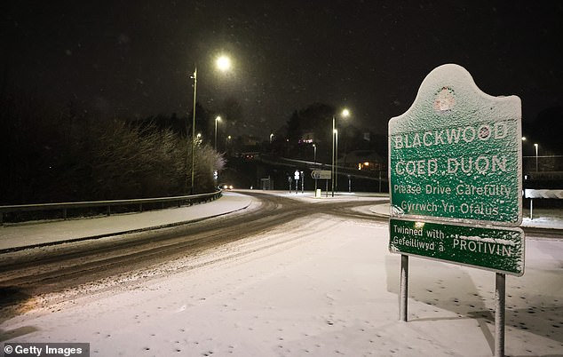
An image of a snow covered road sign on January 04, 2025 in Blackwood, Wales
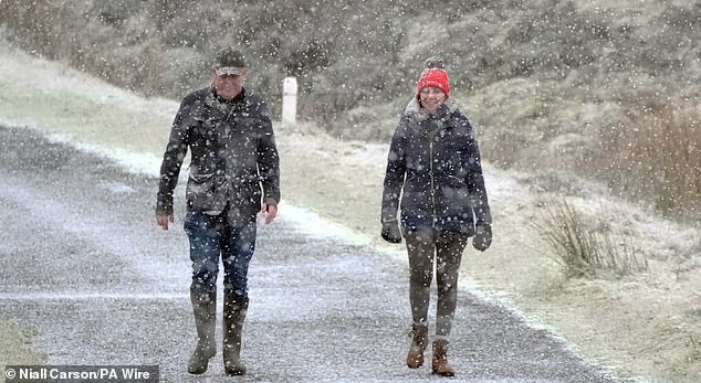
The Met Office’s amber warning for snow and ice is now in force, as Britain braces itself for a huge Arctic blast
People out walking at the Wicklow Gap mountain pass in Co Wicklow as Ireland enters a cold snap
A Met Office spokesperson confirmed the temperatures reached a low of -8.6C in Aboyne in Aberdeenshire overnight.
Chilly conditions were expected to continue for most of Saturday, today with most places ranging from 2-5C, with highs of 7C in south-west England. The coldest temperature recorded in January last year was minus 14C, in Dalwhinnie in the Highlands.
The Met Office has warned that up to 1ft 4in (40cm) of snow could blanket parts of the UK.
The forecaster put in place a yellow snow warning for most of England and the whole of Wales from 12pm today until 11.59pm on Sunday, while Northern areas of Scotland have yellow warnings until 10am tomorrow.
Two amber warnings, however, have been issued from Newcastle upon Tyne down to Manchester from 9pm today until 11.59pm tomorrow and from Stoke on Trent to just above Cardiff from 6pm today until midday tomorrow.
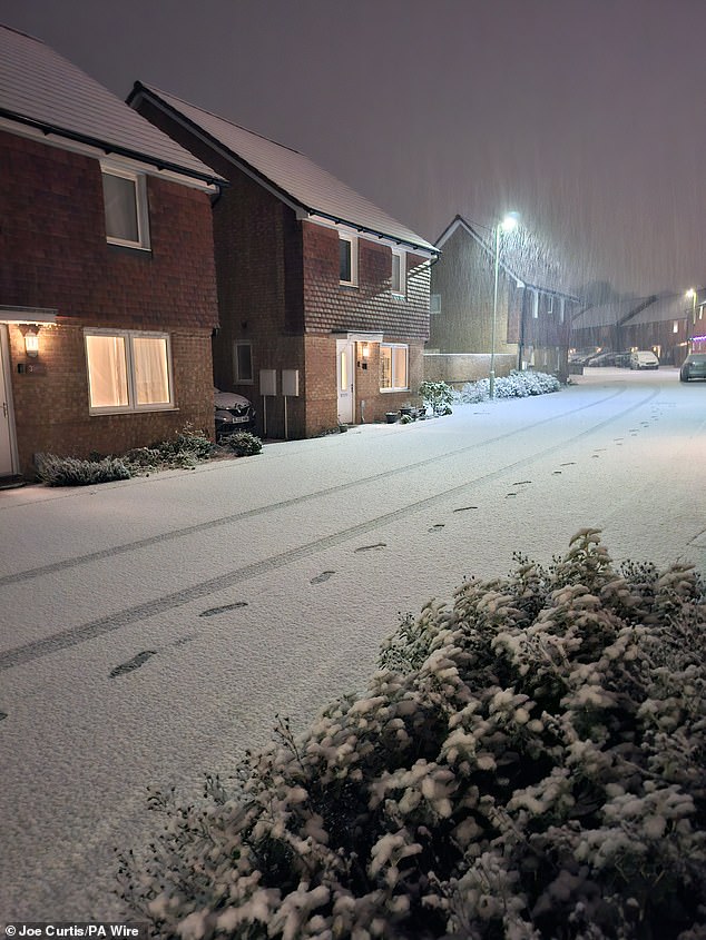
Snow falling in Basingstoke. Large parts of the country will face disruption from heavy snow
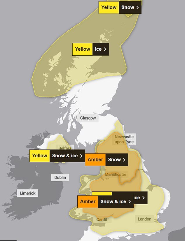
The Met Office has issued four yellow snow warnings and two amber warnings for today
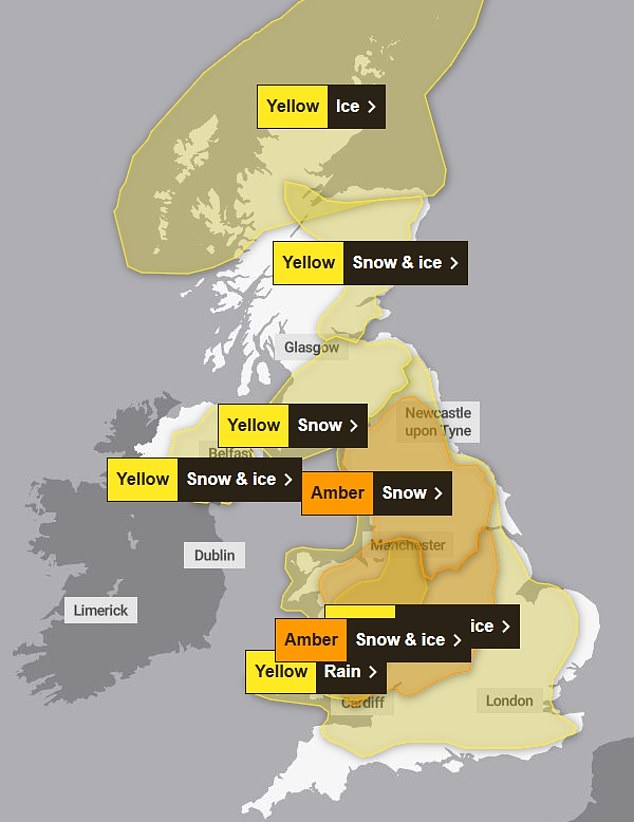
On Sunday, the forecaster is predicting even more snow, with an extra yellow snow warning in place
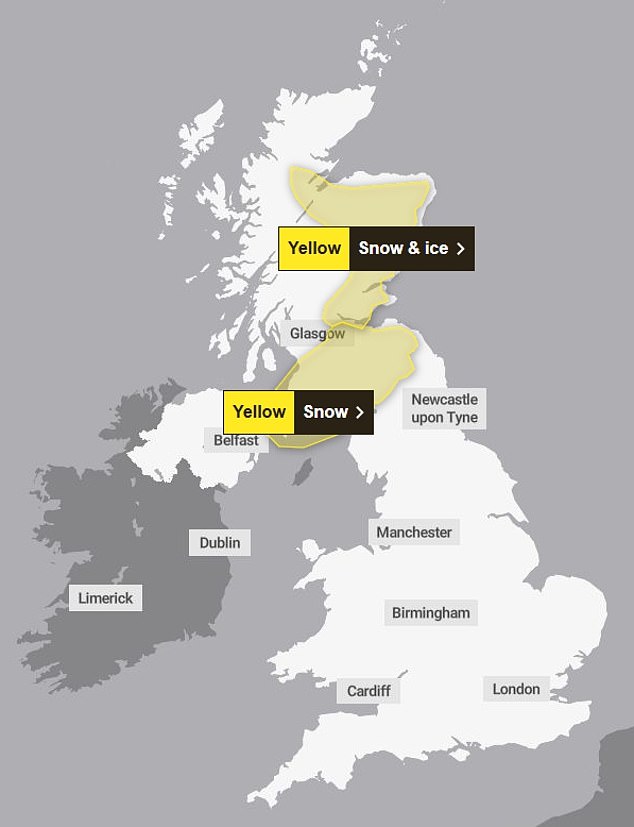
On Monday however, the snow is expected to die down with there only being two yellow warnings in place
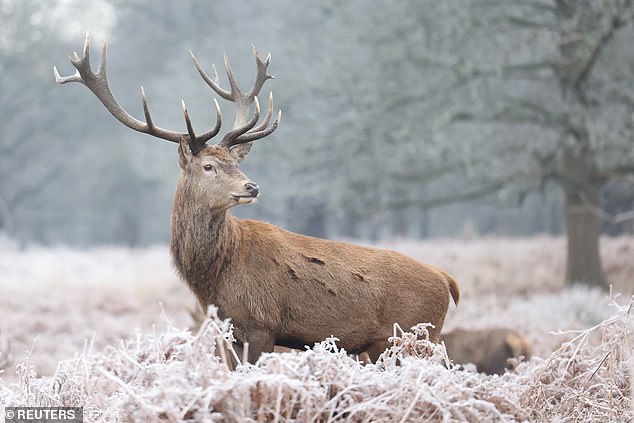
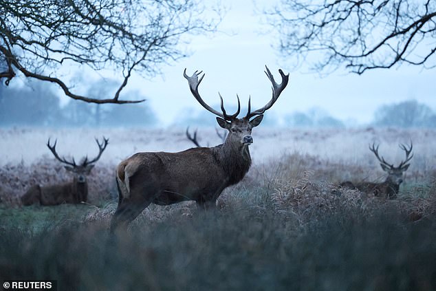
A deer stag looks on in Richmond Park in London on January 4
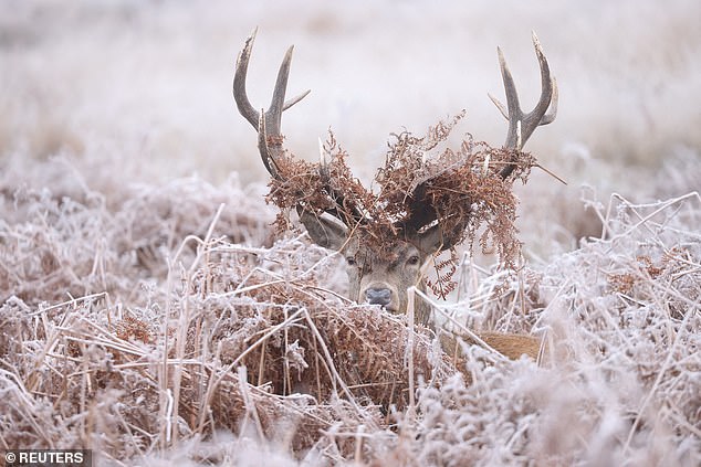
A deer stag lies amongst frosty foliage at Richmond Park on a frosty Saturday morning
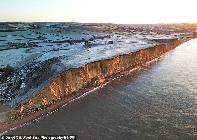
Early morning frost and mist as the sun rises over West Bay, Dorset
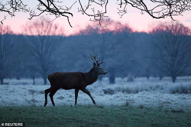
A deer stag this morning after multiple weather warnings for snow and ice across the UK this weekend
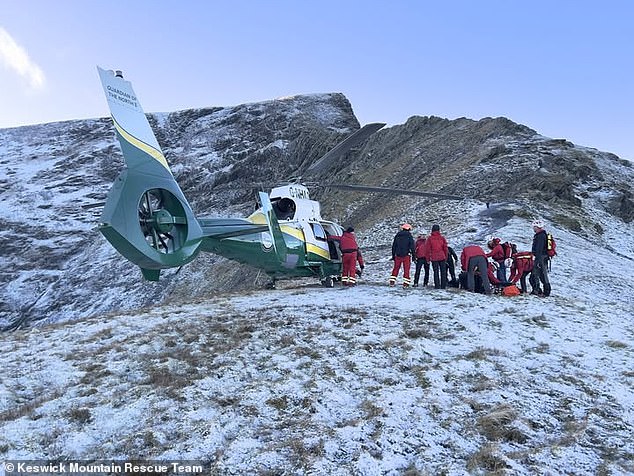
The Keswick Mountain Rescue Team pictured as they were called to help a walker
Warnings say that snow and freezing rain across Wales and the Midlands could lead to travel delays, road closures and power cuts.
Weather maps showed the storm touching down on the south west coast from as early as 12am this morning before spreading northwards.
The arctic conditions will then sweep into northern England and Scotland from around 6am on Sunday before the weather warms up to 13C (55F) in parts of the south.
This comes after a walker died after falling 70m from a mountain ridge in the Lake District.
Keswick Mountain Rescue said their first callout of the year ended in tragedy after the man died after falling from Sharp Edge on Blencathra on January 2.
The team were joined by the Great North Air Ambulance Service, Coastguard Helicopter R199, and the police.
‘Our thoughts and condolences go to the man’s family and friends,’ the team wrote on Facebook.
Lecht Ski Centre in Aberdeenshire, Scotland has also had some snow, meaning keen skiers have heard to the slopes.
However, one young person was badly injured while skiing and had to be taken away by Air Ambulance earlier today.
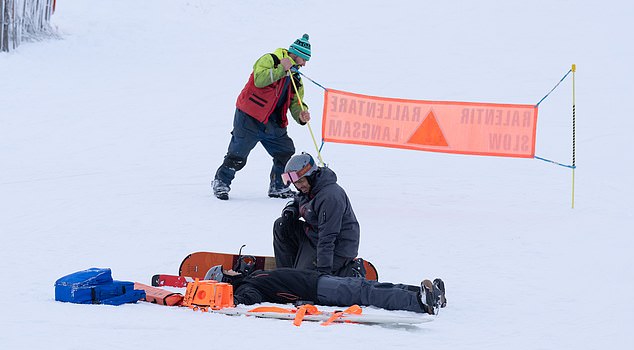
However, one young person was badly injured while skiing and had to be taken away by Air Ambulance earlier today
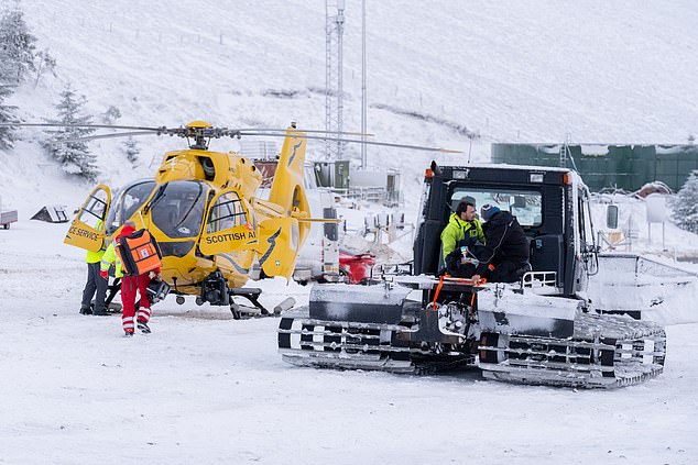
Lecht Ski Centre in Aberdeenshire, Scotland has also had some snow, meaning keen skiers have heard to the slopes.
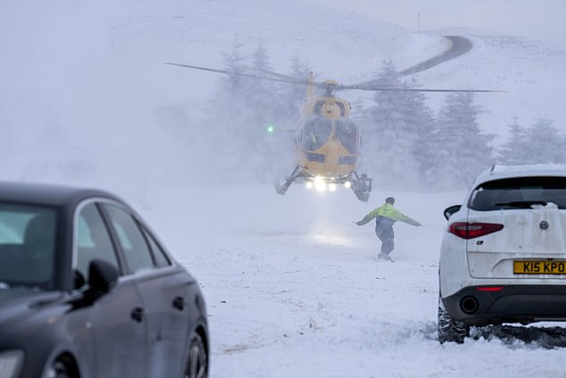
Air ambulance taking an injured skier off to the hospital in Scotland
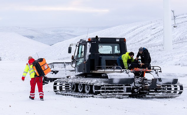
Medics on the scene in Lecht Ski Centre, Aberdeenshire, Scotland
National Highways warned a ‘spell of disruptive snow’ would spread across southern and central parts of the road network on Saturday night.
Drivers in high-altitude areas, particularly the Cotswolds and Peak District, were warned to take particular care. Gwent Police issued a warning for black ice on Friday.
Road users in England’s north were warned up to 25cm of snow could hit parts of the network including the A66 Old Spittal, A628 Woodhead Pass and M62 at Windy Hill.
Met Office chief forecaster Jason Kelly said some ‘significant accumulations’ of snow are possible in parts of Wales, the Midlands and northern England, and the additional factor of strengthening winds could lead to drifting of lying snow.
He continued: ‘There is a risk of freezing rain across parts of the Midlands and northern England, but especially Wales, adding to the risk of ice and leading to some treacherous conditions in places.
‘As the super-cooled rain droplets hit the surface they instantly freeze, covering everything in a layer of ice, making it extremely dangerous.’
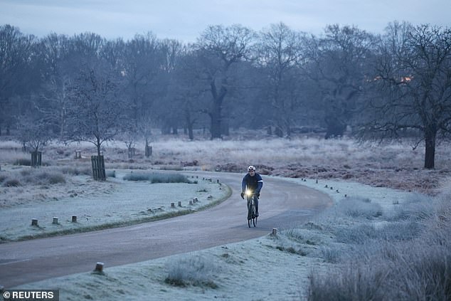
The first amber snow and ice warning for Wales and the Midlands states that ‘snow and freezing rain will likely lead to disruption to transport and some other services’. Pictured: Richmond
Between 3cm (1.2in) and 7cm (2.8in) of snow is likely for much of the warning area. Pictured: Richmond
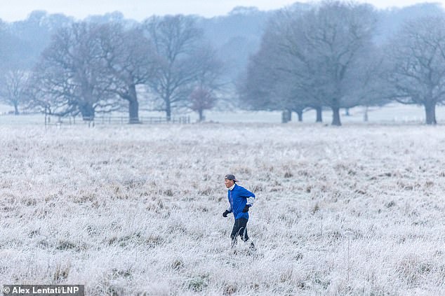
The Met Office has warned that up to 1ft 4in (40cm) of snow could blanket parts of the UK. Pictured: A runner enjoys the frosty weather in Richmond Park, London this morning
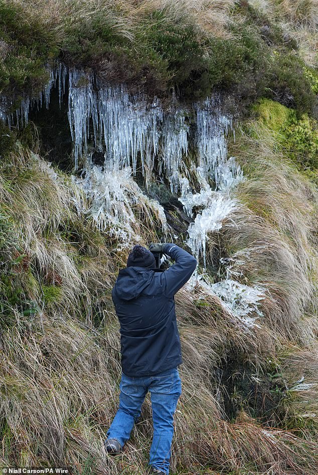
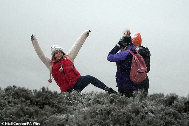
A man takes pictures of icicles at the Wicklow Gap mountain pass in Co Wicklow as Ireland enters a cold snap
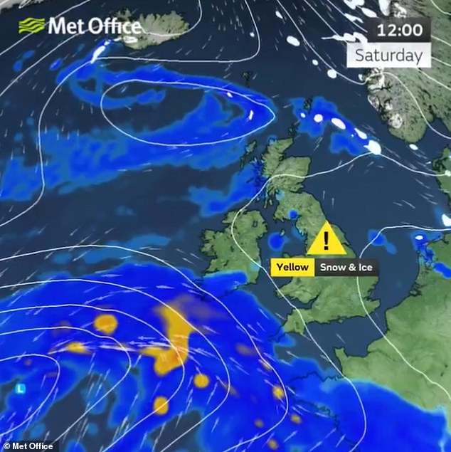
The Met Office has put in place a yellow snow warning for most of England and the whole of Wales from 12pm today until 11.59pm on Sunday
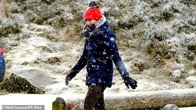
A series of weather warnings will come into effect, with status orange snow and ice warnings issued
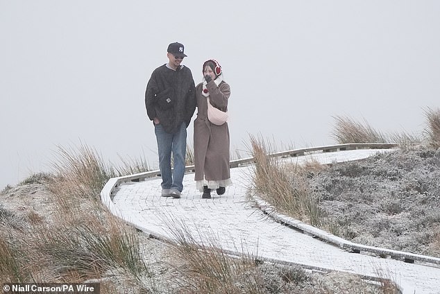
People out walking at the Wicklow Gap mountain pass in Co Wicklow
Lincolnshire Police has said it is investigating whether a crash near Grantham which left a seven-month-old baby dead on Thursday night was linked to icy conditions.
A yellow Honda Jazz car left the southbound carriageway on the A1 shortly after 10.50pm before it hit a tree and returned to the road.
UK Health Security Agency (UKHSA) cold weather health alerts for all of England remain in place ahead of a week of low temperatures.
A major crash involving a heavy goods vehicle (HGV) also caused severe disruption on the M26 this morning.
Emergency services were called to the scene at around 4am, where the lorry had veered off the road.
Due to the size of the vehicle and the extent of the damage, a crane was brought in to assist with the recovery, and sections of the motorway barriers had to be cut to facilitate the operation
The crash comes amid warnings from the highways agency for drivers to be extra cautious, as icy and snowy conditions are forecast over the weekend.
The NHS Black Country integrated care board has warned the public to ‘avoid going out early when the frost is thick or late at night when it’s dark’, adding people should keep hands free and wear shoes with a good grip.
In Herefordshire, the Wye Valley NHS Trust told people to ‘have sufficient food and medicine and take measures to reduce draughts in your home’.
The first amber snow and ice warning for Wales and the Midlands states that ‘snow and freezing rain will likely lead to disruption to transport and some other services’.
It adds that there is a ‘good chance that power cuts may occur, with the potential to affect other services, such as mobile phone coverage’.
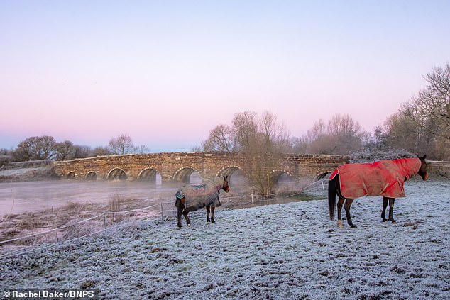
A frosty morning at White Mill Bridge in Sturminster Marshall, Dorset
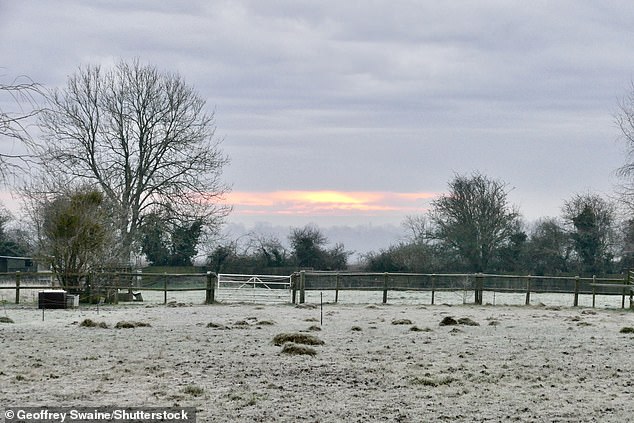
Hard frost covers the countryside after another bitterly cold night in Dunsden, Oxfordshire
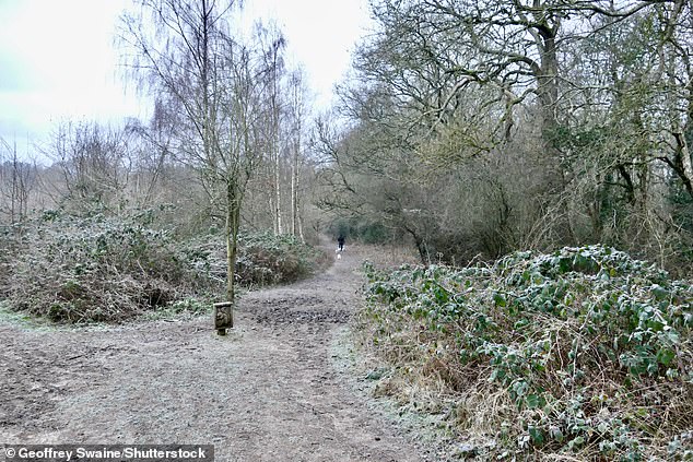
Britain is bracing for an arctic blast this weekend with temperatures of -10C. Pictured: Oxfordshire this morning
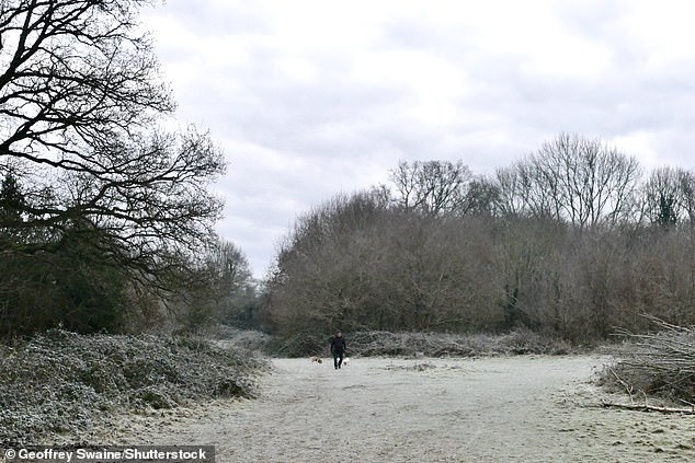
More than a foot of snow is expected to sweep across the country. Pictured: Dunsden, Oxfordshire on Saturday morning
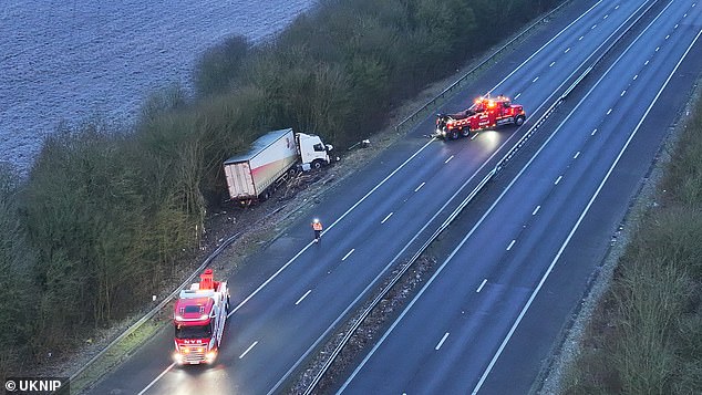
A major crash involving a heavy goods vehicle (HGV) has caused severe disruption on the M26 this morning
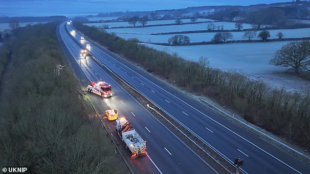
Emergency services were called to the scene at around 4am, where the lorry had veered off the road
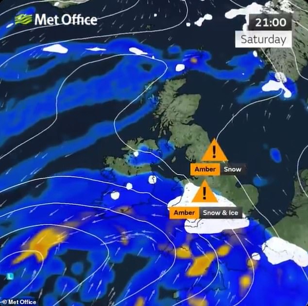
Two new amber weather warnings will come into effect from 6pm tonight, with warnings of snow and freezing rain across Wales and the Midlands
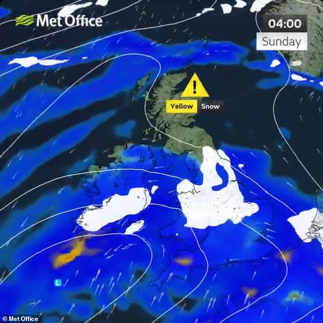
The arctic conditions will then sweep into northern England and Scotland from around 6am on Sunday
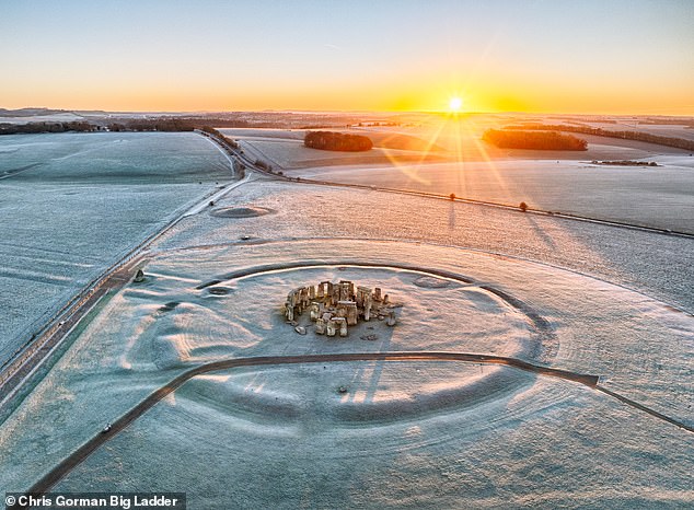
A hard frost turns Stonehenge white at dawn in Wiltshire on Friday morning amid sub-zero weather
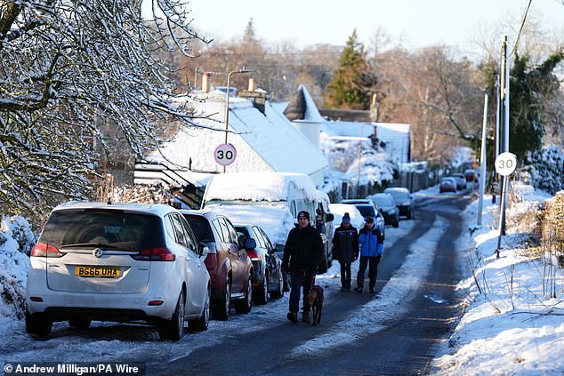
A car is driven through snow in Balerno, Edinburgh, on Friday as the wintry weather continues

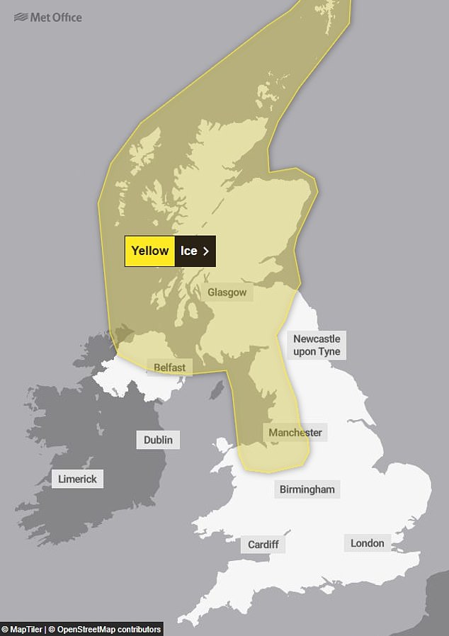
An ice warning is in place for northern areas until 10am today
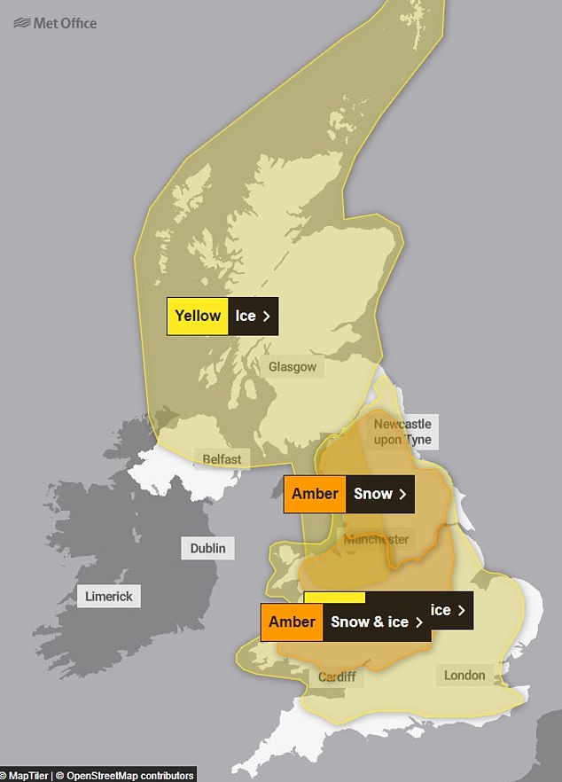
The amber alerts come on top of the existing yellow snow warning from 12pm today until 11.59pm on Sunday
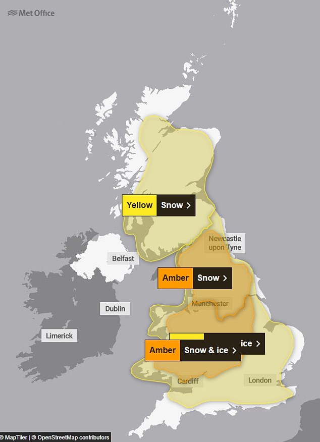
SUNDAY: The warnings are then joined on Sunday by a yellow snow alert for most of Scotland
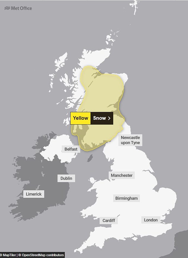
MONDAY: The final alert, a yellow snow warning for Scotland, runs until 12pm on Monday
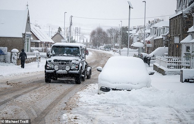
Heavy snow falls across Aberdeenshire on Friday as vehicles are driven through Alford
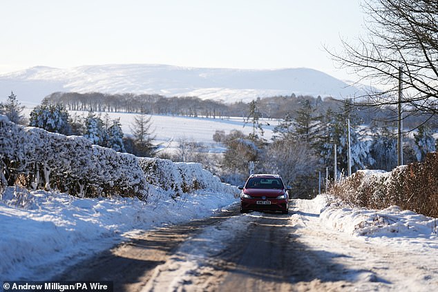
A car is driven through snow in Balerno, Edinburgh, on Friday as the wintry weather continues
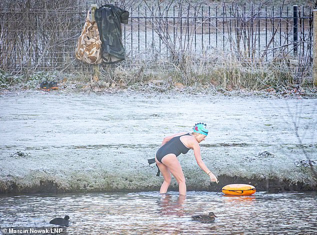
A swimmer takes a dip at a frosty Beckenham Place Park Lake in South East Londonon Friday
The warning also says that ‘travel delays on roads are likely, stranding some vehicles and passengers’ and ‘some road closures and longer journey times possible’.
In addition, the Met Office warns ‘some delays and cancellations to bus, rail and air travel are likely’; ‘there is a good chance that some rural communities could become cut off’; and ‘untreated pavements and cycle paths likely to be impassable’.
Forecasters expect the snow to become persistent and heavy as it pushes south to north across the warning area, with freezing rain also expected to bring ‘hazardous travel conditions’, before milder air follows by Sunday morning.
Between 3cm (1.2in) and 7cm (2.8in) of snow is likely for much of the warning area, with 15cm (6in) to 30cm (1ft) for the higher ground of Wales and the southern Pennines.
Freezing rain is also expected to lead to ice in parts of Wales, before the milder air leads to a rapid thaw in the south of the warning area on Sunday.
Similar details are contained in the second amber warning for northern England.
This alert also states: ‘Snow will be persistent and heavy at times, and will likely drift in brisk easterly winds, especially over higher ground.’
Much of this warning area can also expect 3cm (1.2in) to 7cm (2.8in) of snow, while areas above about 150m (500ft) will likely see 15cm (6in) to 30cm (1ft), with 40cm (1ft 4in) for ground above 300m (1,000ft).
The alert adds: ‘For some lower-lying areas, such as the Vale of York, snow may mix with rain at times making estimations of snow depths here more difficult. Regardless, travel will likely be difficult, with power line icing an additional impact.’
Speaking about snow in eastern areas of England including London, Met Office meteorologist Alex Burkill told a YouTube live Q&A session today: ‘There is the risk of some snow further east, it won’t perhaps be quite as disruptive, but parts of Norfolk are within that warning area.
‘London, a little bit less likely to see something, but nonetheless it’s not out of the question. We are likely to see some snow coming through but I think that’ll be more so Saturday night into Sunday.
‘And the thing to bear in mind with places like London and to the South, even if you do see any sleet or snow, then it’s going to quite quickly be followed by some rain, so it’s likely to get washed away and so less likely to be impactful.’
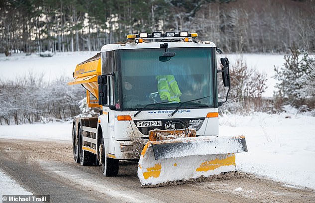
A snow plough clears the roads around Alford in Aberdeenshire on Friday amid severe weather
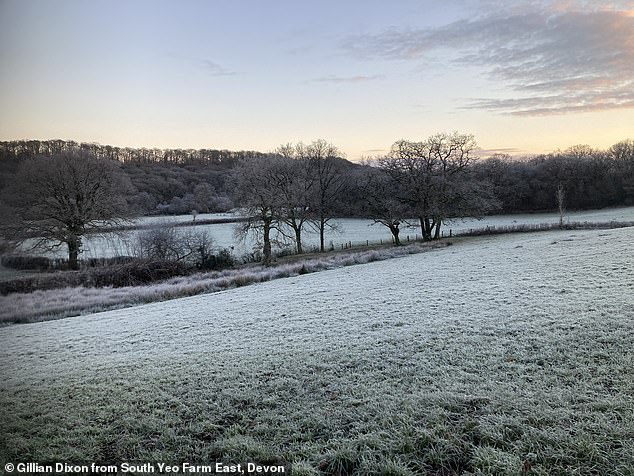
A frosty scene at South Yeo Farm East in Devon on Friday as the UK wakes up to very cold weather
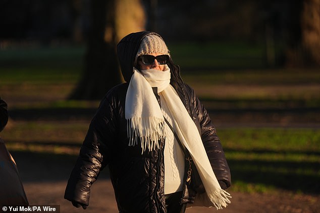
A person braves the cold walking through Green Park on a very chilly day in London on Friday
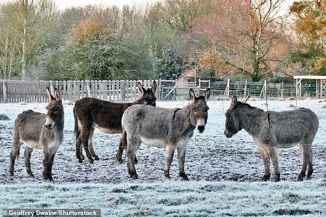
Donkeys at a frosty paddock in Dunsden, Oxfordshire, on Friday morning after a bitterly cold night
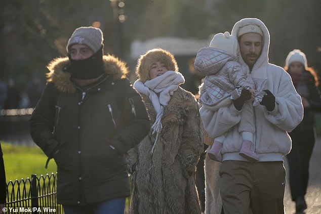
People brave the cold as they walk through St James’s Park in London on Friday morning
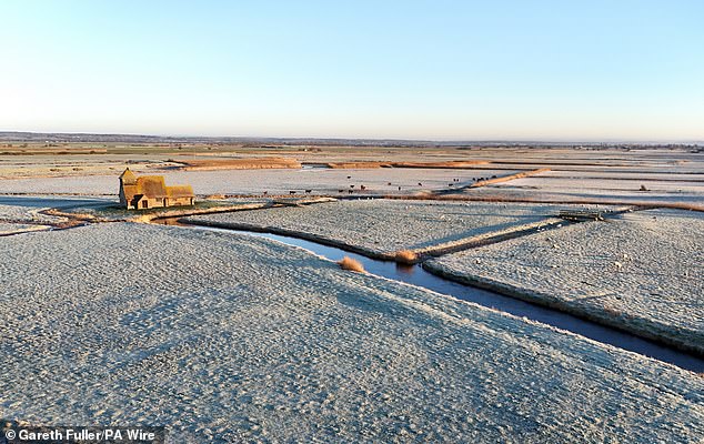
St Thomas Becket church is surrounded by frosty fields on Romney Marsh in Kentyesterday
National Rail Enquiries said the line between Inverness and Dingwall in northern Scotland would be closed until at least 11am today because of ‘multiple landslips and areas flooded’, meaning no ScotRail services between Inverness and Wick/Thurso and between Inverness and Kyle of Lochalsh.
Met Office Chief Forecaster Jason Kelly said: ‘This weekend will bring a range of weather hazards to the UK, notable snow accumulations, freezing rain, ice and heavy rain as well as some gusty conditions.
‘We have issued a number of severe weather warnings, including Amber warnings for snow and ice in parts of England and Wales.
‘Some significant accumulations of snow are possible across parts of Wales, the Midlands and northern England in particular, where 5cm or more could accumulate fairly widely, with as much as 20 to 30cm over high ground of mid and north Wales and potentially 30 to 40cm over parts of the Pennines. This, accompanied by strengthening winds, may lead to drifting of lying snow.’
He added that as the milder air moves northwards, snow may turn to a spell of freezing rain for a time.
Mr Kelly said: ‘There is a risk of freezing rain across parts of the Midlands and northern England, but especially Wales, adding to the risk of ice and leading to some treacherous conditions in places.
‘As the supercooled rain droplets hit the surface they instantly freeze, covering everything in a layer of ice, making it extremely dangerous.’
The amber alerts from the UKHSA mean a rise in deaths is likely, the agency said.
It comes as hilariously named gritter lorries including I Want To Break Freeze, Sled Zeppelin and Icetalavista Baby took to Scotland’s roads to battle the cold weather.
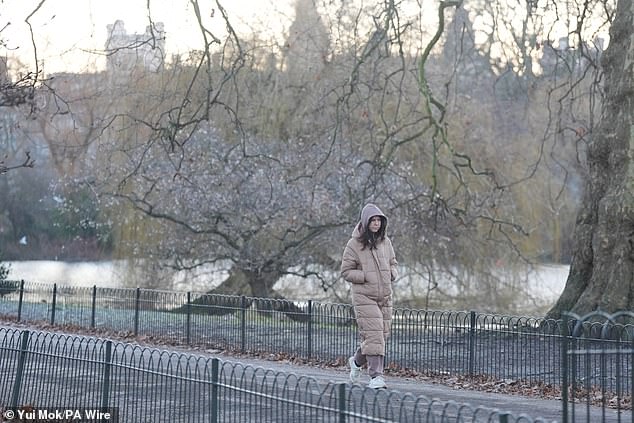
People brave the cold as they walk through St James’s Park in London on Friday morning
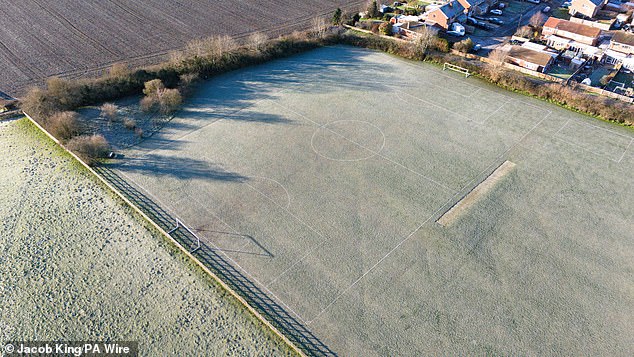
Fields during a frosty morning at Southam in Warwickshire on Friday morning
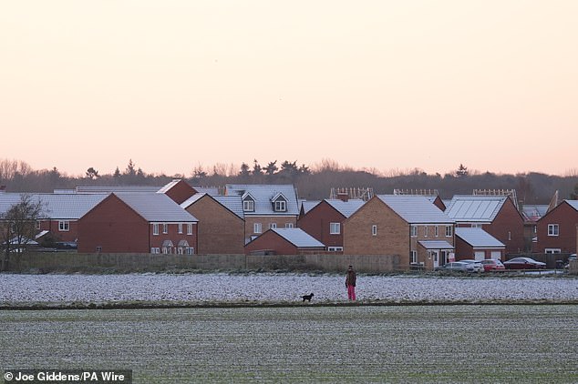
Frost covers houses and the ground at Martham in Norfolk yesterday amid the sub-zero weather
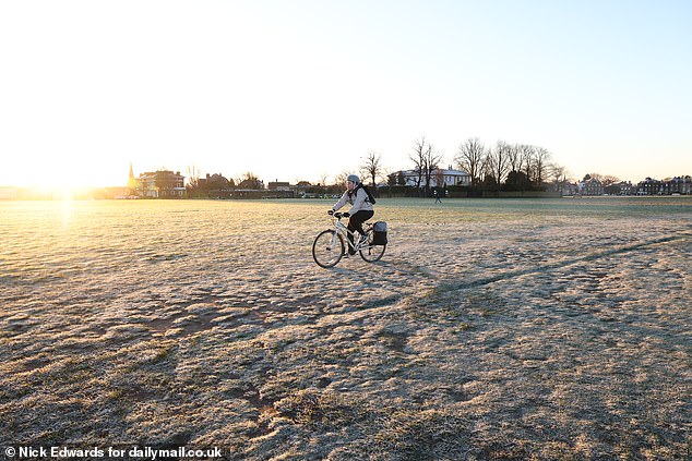
A freezing start as a cyclist makes their way through Blackheath in South East London
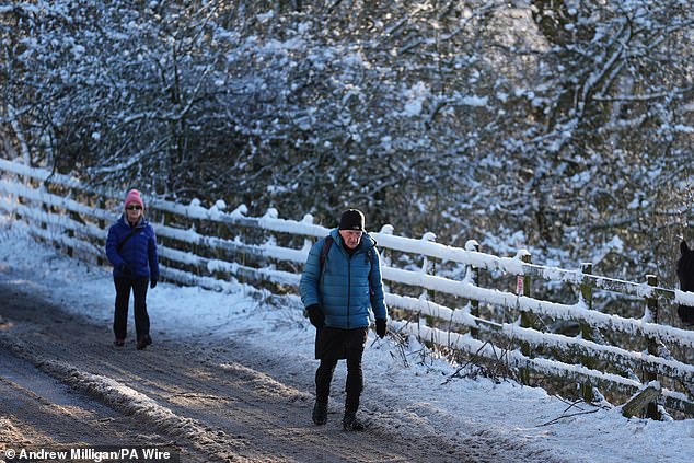
People walk through snow in Balerno, Edinburgh,yesterday as the wintry weather continues
Dr Agostinho Sousa, head of extreme events and health protection at UKHSA, said: ‘The forecasted temperatures can have a serious impact on the health of some people, including those aged 65 and over and those with pre-existing health conditions, and it is therefore vital to check in on friends, family and neighbours that are most vulnerable.
‘These people could be more at risk of heart attacks, stroke and chest infections as a result of cold temperatures.’
Health Secretary Wes Streeting said today that it was ‘a weekend to layer up and put the heating on’ due to the cold conditions.
He told BBC Breakfast: ‘We are heading into a cold snap this weekend and I know there are lots of concerns, not just amongst charity leaders, but also among NHS and social care leaders as well, about the particular risks and vulnerabilities this weekend as temperatures drop, both in terms of risk of accident and injury, but also risk from the cold itself.
‘This is a weekend to wrap up and keep warm, to take sensible precautions about going out and about.’
These comments drew the ire of Age UK director Caroline Abrahams who responded to Mr Streeting’s remarks by stating: ‘Unfortunately, it has become increasingly clear that the Government’s decision has left millions or the poorest and most vulnerable people unprotected this winter.
‘We have been hoping and praying that a mild winter would reduce the risks to older people created by the decision to severely ration the Winter Fuel Payment at short notice’.
Councils across London and southern England have also activated emergency measures including additional accommodation to help rough sleepers stay safe during the cold snap.


James Lally, services director of homelessness charity St Mungo’s, said: ‘Access to a safe and warm place to live is vital for those experiencing homelessness all year round – and during freezing cold weather, emergency accommodation saves lives.
‘St Mungo’s frontline teams are prepared to respond to this critical situation, and continue to work tirelessly around the clock to make sure that as many people as possible can be brought out of the cold and into safety.’
Dan Stroud, meteorologist at the Met Office, said conditions should become warmer by the end of the weekend before cold weather strikes again early next week.
He said: ‘The second half of the weekend should be in the high singles or low doubles (for temperature figures).
‘But temperatures will dive again next week, particularly on Monday and Tuesday.
‘They should start to improve towards the latter end of the week. But there’s a lot of water to go under the bridge until then.’
Bookmaker Ladbrokes has cut odds that this month will be the coldest January on record, down from 3/1 to 4/5.
The coldest temperature recorded in January 2024 was -14C (7F) at Dalwhinnie in the Scottish Highlands.
After a brief respite of milder air for some areas on Sunday, colder conditions are set to develop widely across the UK into next week.
Met Office deputy chief forecaster Dan Holley said: ‘The system bringing this weekend’s snow will move away to the east by Monday, allowing a cold a northerly flow to become established again for much of next week.
‘This will bring further snow showers to northern Scotland in particular, but possibly to some other areas, especially near western coasts, with a fair amount of dry and bright weather elsewhere.
‘Temperatures will remain below average, with widespread frost and the risk of ice at times.
‘Some areas, especially in the north, may struggle to get above freezing for several days. It is possible further weather warnings will be issued for the start of next week, so it’s advisable to stay up to date with the forecast.’
National Highways Severe Weather Resilience Manager, Darren Clark, said: ‘If you are travelling this weekend, keep your distance and reduce your speed.
‘Gritters will be out treating our roads around the clock when ice or snow is forecast, but it is still important to drive to the conditions.
‘Even in conditions that seem normal and where the snow is not settling you could always experience slippery conditions.
‘Drivers should plan their journeys, check their vehicles, monitor weather reports and pack a snow kit of blankets, food, water and a shovel.’
dailymail,news,Wales,Met Office,London,NHS,England
#Big #Freeze #grips #Britain #Snow #storm #blankets #nation #causing #travel #mayhem #flights #grounded #Bristol #roads #iced #amber #alert #issued #northern #England #FOOT #set #fall

